Fotosearch Royalty Free Stock Photography
Digital images licensed by Publitek, Inc.
Fotosearch and Photosearch are trademarks of Fotosearch, LLC
All rights reserved © 2026-01-28
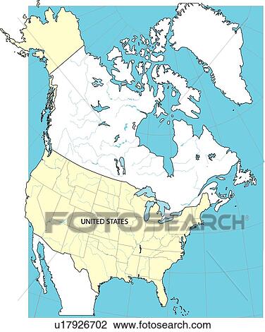
Map, land, globe, illustration, continents, United States, America Drawing

Map, land, globe, illustration, continents, United States, America
u17926702 | Central Stock | Royalty Free
Add to Lightbox
Share Image
Keywords
america, continents, countries, country, equatorial line, globe, illustration, land, map, sea, united states, usa, world, world map 2, stock illustration, royalty free illustrations, stock clip art icon, stock clipart icons, logo, line art, EPS picture, pictures, graphic, graphics, drawing, drawings, vector image, artwork, EPS vector arts, fine art prints, print, poster, posters, mural, wall murals, u17926702
america, continents, countries, country, equatorial line, globe, illustration, land, map, sea, united states, usa, world, world map 2, stock illustration, royalty free illustrations, stock clip art icon, stock clipart icons, logo, line art, EPS picture, pictures, graphic, graphics, drawing, drawings, vector image, artwork, EPS vector arts, fine art prints, print, poster, posters, mural, wall murals, u17926702
Show Keywords
- Mobile/Small Web Resolution (150 KB)2.9" x 3.5" @ 72dpi JPG9
- Low Resolution (1 MB)7.5" x 9" @ 72dpi JPG32
- Medium Resolution (10 MB)5.7" x 6.8" @ 300dpi JPG68
- High Resolution (28 MB)9.5" x 11.4" @ 300dpi JPG105
- Ultra High Resolution (86.1 MB)16.7" x 20" @ 300dpi EPS140
View larger image sizes
View Central Stock license agreement


