Fotosearch Royalty Free Stock Photography
Digital images licensed by Publitek, Inc.
Fotosearch and Photosearch are trademarks of Fotosearch, LLC
All rights reserved © 2026-01-21
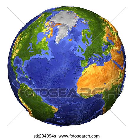
Full view of the Earth showing topographic data. Stock Illustration

Full view of the Earth showing topographic data.
stk204094s | StockTrek | Royalty Free
Add to Lightbox
Share Image
Keywords
africa, america, atlantic ocean, blue planet, coastline, color image, colorful, continent, day, digital composite, digital enhancement, earth, eastern hemisphere, elevation, europe, full earth, geography, global, globe, illustration, landmass, map, multi-colored, no people, north america, north pole, ocean, outdoors, outer space, physical geography, planet, relief map, round, single object, south america, space, sphere, square image, terrain, terrestrial, three dimensional, topography, united states, western hemisphere, white background, whole, world, stock illustration, royalty free illustrations, stock clip art icon, stock clipart icons, logo, line art, EPS picture, pictures, graphic, graphics, drawing, drawings, vector image, artwork, EPS vector arts, fine art prints, print, poster, posters, mural, wall murals, stk204094s
africa, america, atlantic ocean, blue planet, coastline, color image, colorful, continent, day, digital composite, digital enhancement, earth, eastern hemisphere, elevation, europe, full earth, geography, global, globe, illustration, landmass, map, multi-colored, no people, north america, north pole, ocean, outdoors, outer space, physical geography, planet, relief map, round, single object, south america, space, sphere, square image, terrain, terrestrial, three dimensional, topography, united states, western hemisphere, white background, whole, world, stock illustration, royalty free illustrations, stock clip art icon, stock clipart icons, logo, line art, EPS picture, pictures, graphic, graphics, drawing, drawings, vector image, artwork, EPS vector arts, fine art prints, print, poster, posters, mural, wall murals, stk204094s
Show Keywords
- Low Resolution (1 MB)8.2" x 8.2" @ 72dpi JPG68
- Medium Resolution (10 MB)6.2" x 6.2" @ 300dpi JPG140
- High Resolution (29.5 MB)10.7" x 10.7" @ 300dpi JPG215
View larger image sizes
View StockTrek license agreement

