Fotosearch Royalty Free Stock Photography
Digital images licensed by Publitek, Inc.
Fotosearch and Photosearch are trademarks of Fotosearch, LLC
All rights reserved © 2026-01-21
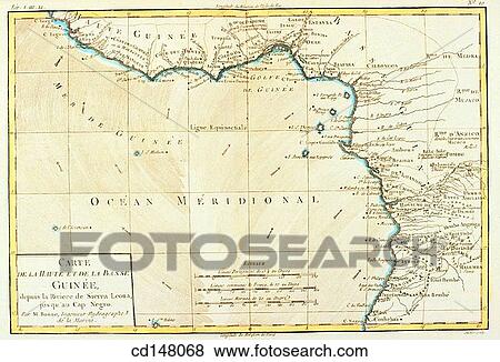
Guinea, 18th century map Stock Photo

Guinea, 18th century map
cd148068 | Pixtal | Royalty Free
Add to Lightbox
Share Image
Keywords
1700s, 18th century, africa, ancient, antique, background, cartography, close-up, coast, coastal, color image, concept, document, geography, guinea, historic, history, horizontal, inaccurate, map, pixtal, science, travel, travelling, trip, stock image, images, royalty free photo, stock photos, stock photograph, stock photographs, picture, pictures, graphic, graphics, fine art prints, print, poster, posters, mural, wall murals, cd148068
1700s, 18th century, africa, ancient, antique, background, cartography, close-up, coast, coastal, color image, concept, document, geography, guinea, historic, history, horizontal, inaccurate, map, pixtal, science, travel, travelling, trip, stock image, images, royalty free photo, stock photos, stock photograph, stock photographs, picture, pictures, graphic, graphics, fine art prints, print, poster, posters, mural, wall murals, cd148068
Show Keywords
- Web Resolution (500 KB)7" x 4.8" @ 72dpi JPG25
- Low Resolution (1.2 MB)10.9" x 7.4" @ 72dpi JPG68
View Pixtal license agreement


