Fotosearch Royalty Free Stock Photography
Digital images licensed by Publitek, Inc.
Fotosearch and Photosearch are trademarks of Fotosearch, LLC
All rights reserved © 2026-01-26
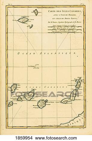
Map Of The Canary Isles, Madeira And Porto Santo, Circa. 1760. From “Atlas De Toutes Les Parties Connues Du Globe Terrestre †By Cartographer Rigobert Bonne. Published Geneva Circa. 1760. Picture

Map Of The Canary Isles, Madeira And Porto Santo, Circa. 1760. From “Atlas De Toutes Les Parties Connues Du Globe Terrestre †By Cartographer Rigobert Bonne. Published Geneva Circa. 1760.
1859954 | Design Pics RM | Rights Managed
Add to Lightbox
Share Image
Keywords
canary, cartography, color, colour, design pics, engraving, geography, illustration, isles, madeira, map, mapmaking, plate, porto, santo, vertical, stock image, images, royalty free photo, stock photos, stock photograph, stock photographs, picture, pictures, graphic, graphics, fine art prints, print, poster, posters, mural, wall murals, 1859954
canary, cartography, color, colour, design pics, engraving, geography, illustration, isles, madeira, map, mapmaking, plate, porto, santo, vertical, stock image, images, royalty free photo, stock photos, stock photograph, stock photographs, picture, pictures, graphic, graphics, fine art prints, print, poster, posters, mural, wall murals, 1859954
Show Keywords


