Fotosearch Royalty Free Stock Photography
Digital images licensed by Publitek, Inc.
Fotosearch and Photosearch are trademarks of Fotosearch, LLC
All rights reserved © 2026-01-22
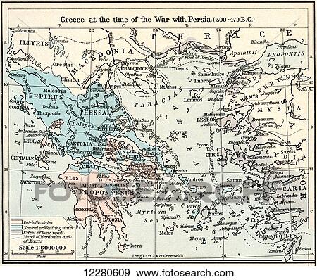
Map of Greece at the time of the war with Persia, 500 - 479 B. C. The Athenian Empire at its height. From Historical Atlas, published 1923. Stock Photo

Map of Greece at the time of the war with Persia, 500 - 479 B. C. The Athenian Empire at its height. From Historical Atlas, published 1923.
12280609 | Design Pics RM | Rights Managed
Add to Lightbox
Share Image
Keywords
479, 500, ancient, athenian, b.c, chart, countries, country, design pics, empire, geographical, geography, greece, height, map, persia, time, war, stock image, images, royalty free photo, stock photos, stock photograph, stock photographs, picture, pictures, graphic, graphics, fine art prints, print, poster, posters, mural, wall murals, 12280609
479, 500, ancient, athenian, b.c, chart, countries, country, design pics, empire, geographical, geography, greece, height, map, persia, time, war, stock image, images, royalty free photo, stock photos, stock photograph, stock photographs, picture, pictures, graphic, graphics, fine art prints, print, poster, posters, mural, wall murals, 12280609
Show Keywords

