Fotosearch Royalty Free Stock Photography
Digital images licensed by Publitek, Inc.
Fotosearch and Photosearch are trademarks of Fotosearch, LLC
All rights reserved © 2026-01-25
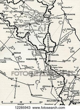
Map of the fortified Franco-German frontier between Belgium and Switzerland during World War One. From The History of the Great War, published c. 1919 Stock Image

Map of the fortified Franco-German frontier between Belgium and Switzerland during World War One. From The History of the Great War, published c. 1919
12285943 | Design Pics | Royalty Free
Add to Lightbox
Share Image
Keywords
1914, 1918, belgium, between, chart, design pics, first, fortified, franco-german, frontier, great, map, one, switzerland, war, warfare, world, wwi, stock image, images, royalty free photo, stock photos, stock photograph, stock photographs, picture, pictures, graphic, graphics, fine art prints, print, poster, posters, mural, wall murals, 12285943
1914, 1918, belgium, between, chart, design pics, first, fortified, franco-german, frontier, great, map, one, switzerland, war, warfare, world, wwi, stock image, images, royalty free photo, stock photos, stock photograph, stock photographs, picture, pictures, graphic, graphics, fine art prints, print, poster, posters, mural, wall murals, 12285943
Show Keywords
- Ultra High Resolution (50.1 MB)12.2" x 16" @ 300dpi JPG999999
View larger image sizes
View Design Pics license agreement


